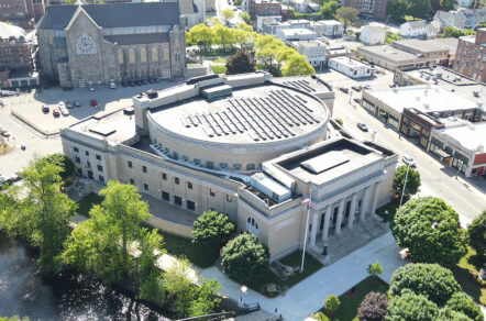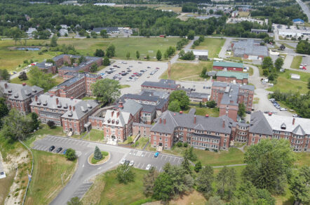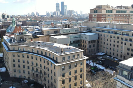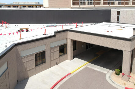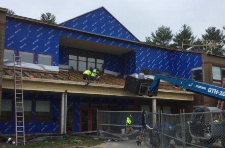
Drone Technology has revolutionized traditional property condition assessments (PCAs) and evaluations of difficult-to-access building locations. Using high-resolution videography and photography, drones offer a cost-effective visual method to evaluate a wide range of properties and facility types.
In some instances, drones can replace the use of scaffolding, lifts, swing staging, and other forms of access, saving labor resources and reducing costs. Using drones as the first option for inaccessible areas and logistically difficult sites can achieve this. Our drones are equipped with infrared (IR) thermal imaging cameras to quickly identify air and moisture voids in exterior building enclosure systems, and photogrammetry to more effectively survey buildings for dimensions and quantities.
Drone Evaluation Services
- High-rise facade and sloped roof evaluations
- Existing condition documentation for construction sites
- Evaluations of cell towers, wind turbines, PV farms, and power transmission lines
- Infrared imaging for energy loss, moisture damage, or electronic resistance
- Property insurance condition studies and documentation for natural disasters
- Bridge, road, pavement, and aviation runway evaluations
- Development of 3D realistic models